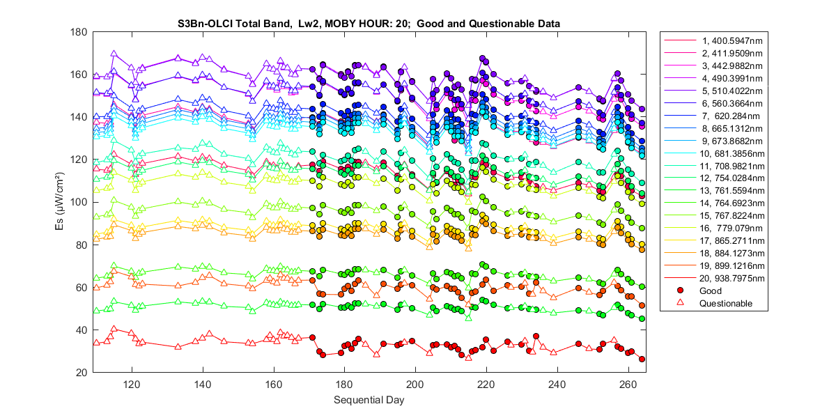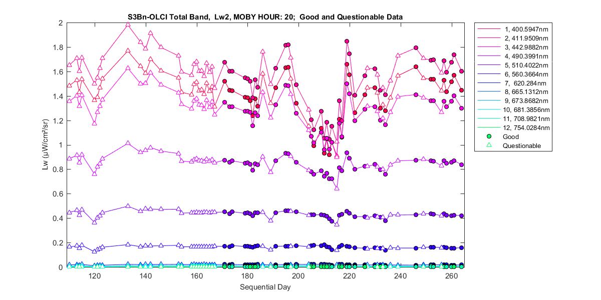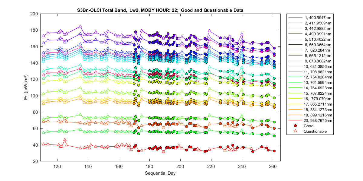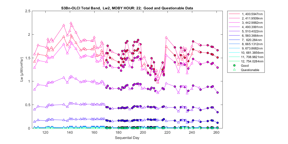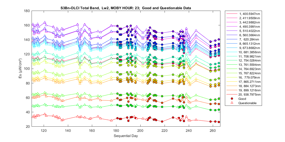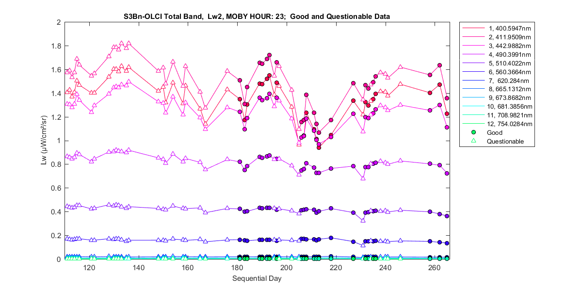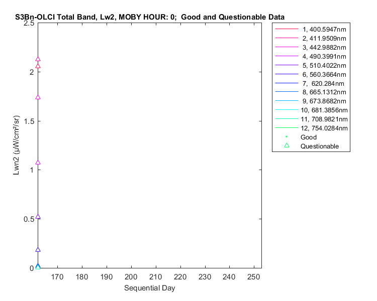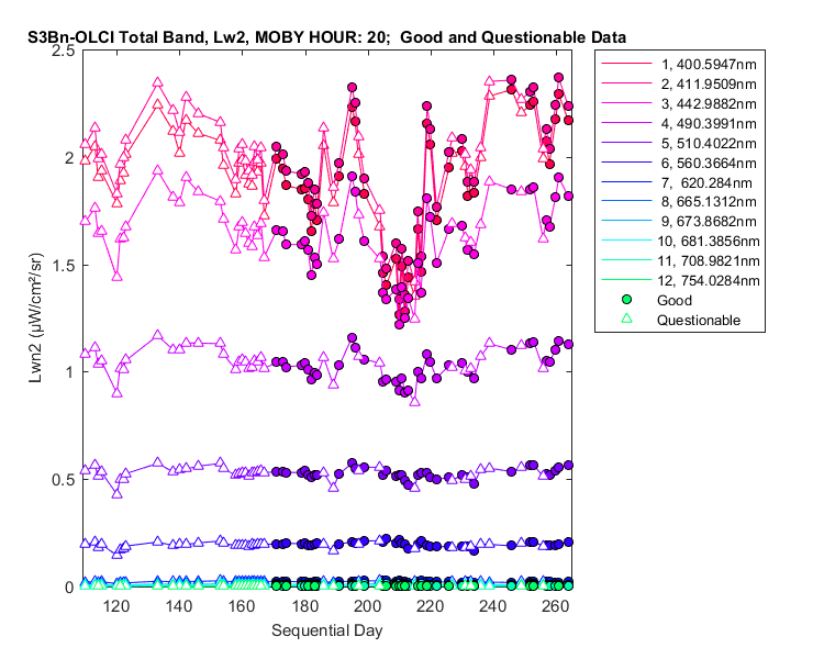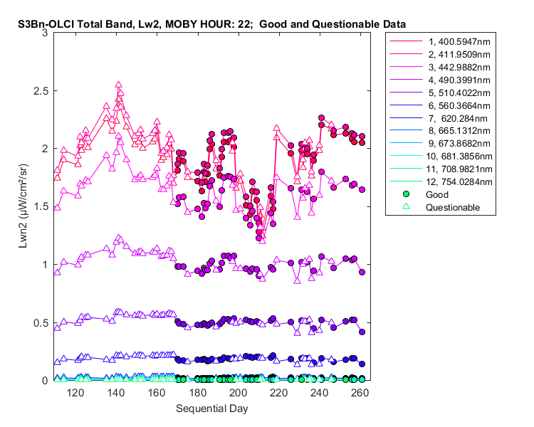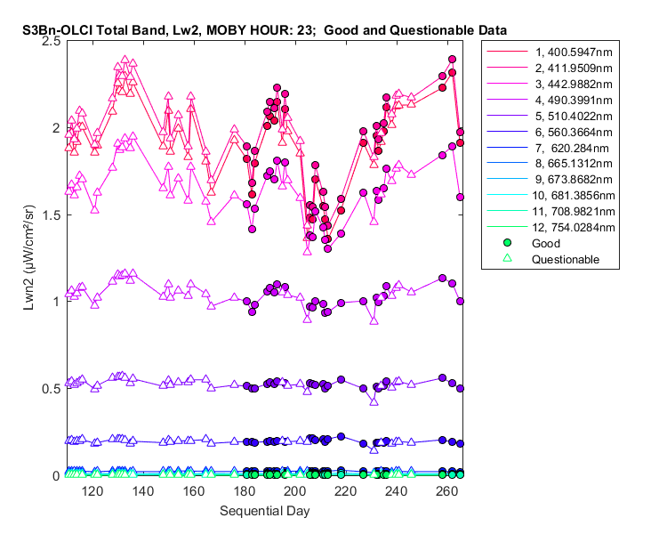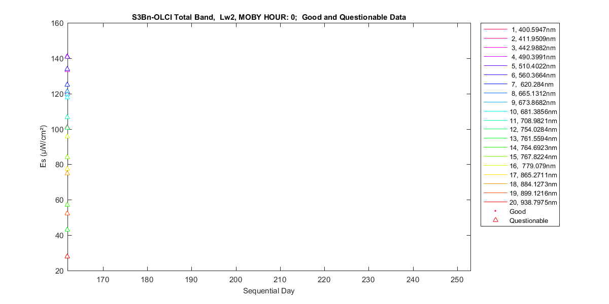
Satellite band averaged data: water-leaving radiance, surface irradiance and solar normalized water-leaving radiance. These values are given as the mean flux (not the total flux) for each band. The total and in-band averages are calculated for each satellite. The in-band is calculated by limiting the relative spectral response to within 1% of the maximum value. A separate data listing (denoted by it's hour) is presented when MOBY collects more than one file per day. Six water-leaving radiances can be calculated from different combinations of MOBY four radiance collectors. The best water-leaving radiance is Lw1, determined from the upper two arms. Lw7 is also included and is calculated from the middle and bottom arms.
Hello to all MOBY data users,
Early in the current deployment (M267) we noticed a problem with the data in that there were very few measurementsthat could be marked good. After divers were sent out to the buoy, we found that the top and bottom arm Lu collectors were tilted in opposite directions approximately 10 degrees to nadir. At that time we felt that was the only problem, and with some modeling felt that the measurements we were marking good were still accurate. Recently we were able to get divers to the buoy again and twist the collectors back to the nadir viewing direction. With this change it has become evident that the calibration for our middle arm measurement is in error (often the upwelling radiance for the middle arm is less than the upwelling radiance for the bottom arm). Thus we will only be producing Lw2 (produced with the top arm measurement and the KL from the top and bottom arm). If the other products can be recovered after post calibration, we will post them at that time.
In addition, because of the twist, for all of the data before June 18th we will only have questionable or bad data (i.e. no data in that period will be marked good).
Kenneth Voss and the MOBY Team
● October 2016 Reprocessing Information
In Oct 2016, a reprocessing of the MOBY data began. Three problems are being addressed: 1) the method to extrapolate Kl to the surface has been improved to include Raman scattering and chlorophyll fluorescence; 2) the arm depths used in retrievals was increased by 0.234 m; and 3) a single pixel shift in the data for the RSG collected at a bin factor of 384 for deployments MOBY203 to MOBY253. Initially only MOBY254 to current deployments were reprocessed. These deployments did not have the RSG single pixel shift problem. So for MOBY254 to current deployments only correction 1 and 2 are applied. As the older deployments are processed the data will be added to this directory. MOBY203 to MOBY253 will have had all three corrections applied.
| Satellite Band | Hour | Lw&Es | Lwn2 |
|---|---|---|---|
| S3Bn-OLCI Total-Band | 00 | 2 | 2 |
| 20 | 2 | 2 | |
| 22 | 2 | 2 | |
| 23 | 2 | 2 | |
| S3Bn-OLCI Total-Band modeled Kl | 00 | 22 | - |
| 20 | 22 | - | |
| 22 | 22 | - | |
| 23 | 22 | - |
| MOBY Hour | Lw | Aux Data |
|---|---|---|
| 00 | 2 | Listing |
| 20 | 2 | Listing |
| 22 | 2 | Listing |
| 23 | 2 | Listing |